Log in
All resources
Create a design
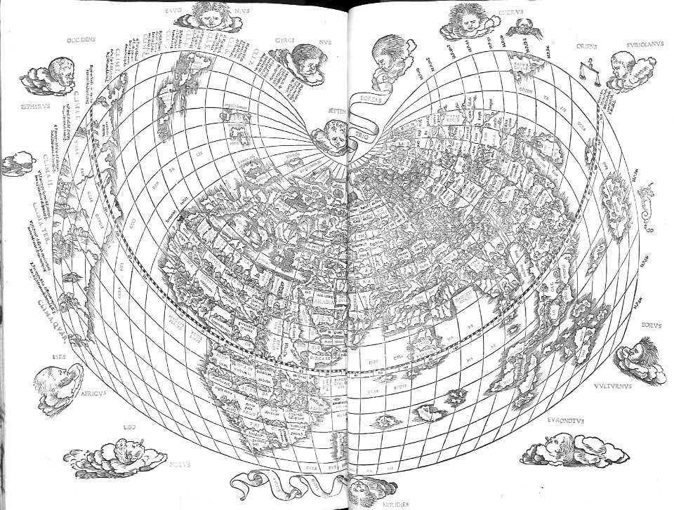
4,963 Free Images of Map Pin
bibliothèque nationale de france
a map of the british empire in america with the french and spanish settlements adjacent thereto
atlas des anciens plans de paris by imprimerie nationale, 1880 from bhvp
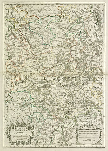
map of the circle of the rhineland by sanson
turgot map of paris, bibliothèque historique de la ville de paris
map of paris by jouvin de rochefort (boutier 112)
maps in the library of congress
backs of postcards in curt teich postcard archives
address sides of divided back postcards
postcards published by mid-west map
old maps of montenegro
old maps of dubrovnik
atlas des anciens plans de paris by imprimerie nationale, 1880 from bhvp
turgot map of paris, bibliothèque historique de la ville de paris
atlas des anciens plans de paris by imprimerie nationale, 1880 from bhvp
turgot map of paris, bibliothèque historique de la ville de paris
map of paris by jouvin de rochefort (boutier 112)
pont de grammont
atlas des anciens plans de paris by imprimerie nationale, 1880 from bhvp
turgot map of paris, bibliothèque historique de la ville de paris
atlas des anciens plans de paris by imprimerie nationale, 1880 from bhvp
turgot map of paris, bibliothèque historique de la ville de paris
old maps of the tuamotus
old maps of polynesia
old maps of the london borough of tower hamlets
maps by john pine
old maps of the principality of minden
1840s maps of north rhine-westphalia
a map of the british empire in america with the french and spanish settlements adjacent thereto
maps in the library of congress
a map of the british empire in america with the french and spanish settlements adjacent thereto
maps in the library of congress
a map of the british empire in america with the french and spanish settlements adjacent thereto
maps in the library of congress
a map of the british empire in america with the french and spanish settlements adjacent thereto
maps in the library of congress
a map of the british empire in america with the french and spanish settlements adjacent thereto
maps in the library of congress
old submaps of paris 1er arrondissement
paris in the 18th century
maps by thomas kitchin
andrew dury
cartes generales de toutes les parties du monde (1658)
1650s maps of saxony
16th-century maps of amsterdam
lodovico guicciardini
john rocque's 1746 map of london
details of old maps of london
map of the circle of the rhineland by sanson
1670s maps of rhineland-palatinate
map of the circle of the rhineland by sanson
1730s maps of rhineland-palatinate
map of the circle of the rhineland by sanson
1680s maps of rhineland-palatinate
map of the circle of the rhineland by sanson
1730s maps of rhineland-palatinate
map of the circle of the rhineland by sanson
1700s maps of rhineland-palatinate
map of the circle of the rhineland by sanson
1700s maps of rhineland-palatinate
map of the circle of the rhineland by sanson
1730s maps of rhineland-palatinate
map of the circle of the rhineland by sanson
1730s maps of rhineland-palatinate
map of the circle of the rhineland by sanson
1680s maps of rhineland-palatinate
nypl collection of atlases, gazetteers, guidebooks and other books
nypl lionel pincus and princess firyal map division
backs of postcards in curt teich postcard archives
postcards of ottawa county, oklahoma
backs of postcards in curt teich postcard archives
postcards of st. louis, missouri
lawrence h. slaughter collection of english maps, charts, globes, books and atlases
nypl lionel pincus and princess firyal map division
backs of postcards in curt teich postcard archives
postcards of madison county, illinois
backs of postcards in curt teich postcard archives
postcards of creek county, oklahoma
john rocque's 1746 map of london
details of old maps of london
backs of postcards in curt teich postcard archives
postcards of ottawa county, oklahoma
old submaps of paris 5e arrondissement
porte saint-victor (paris)
background
maps
maps by willem and johannes blaeu
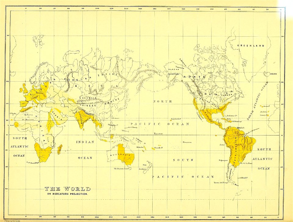
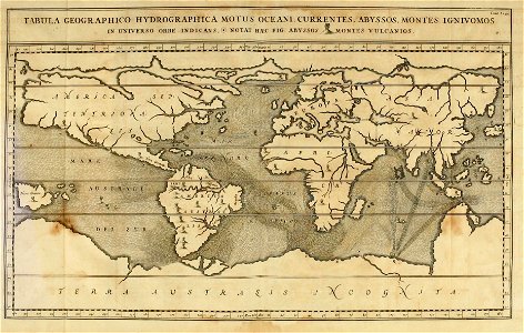
old maps with mercator projection
19th-century maps of bohemia
maps of regions of bohemia
curt teich postcard archives, curt teich & company
map postcards
bird
owl
map of ancient armenia by philippe de la rué
maps of antony's parthian war
cartography
maps
everett d. graff collection of western americana
maps by g. w. & c. b. colton & co.
self-published work
pages with maps
arnold van langren map of southwest africa
renaissance
science
geology
europe
bird
maps
city
fourrure et pelletiers. a travers les ages
furriers in paris
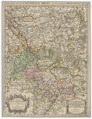
map of the upper rhenian circle by sanson
maps by nicolas sanson
map of the upper rhenian circle by sanson
maps by nicolas sanson
maps of ancient israel by philippe de la rué
eran laor cartographic collection
works after map of amsterdam, 1544
maps in the rijksmuseum amsterdam
henricus hondius ii, nova totius terrarum orbis geographica ac hydrographica tabula, 1630
eran laor cartographic collection
map of paris by claes jansz. visscher - derivate files
17th-century people of paris
atlas des anciens plans de paris by imprimerie nationale, 1880 from bhvp
map of paris by jouvin de rochefort (boutier 112)
media contributed by university of illinois urbana-champaign university library
1702 maps of africa
map of paris by claes jansz. visscher - derivate files
17th-century people of paris
atlas des anciens plans de paris by imprimerie nationale, 1880 from bhvp
18th-century maps of paris
atlas des anciens plans de paris by imprimerie nationale, 1880 from bhvp
plan de turgot
1779 maps of new york (state)
old maps of new york (state)
map of ancient armenia by philippe de la rué
1650s maps of armenia
atlas des anciens plans de paris by imprimerie nationale, 1880 from bhvp
map of paris by jouvin de rochefort (boutier 112)
list of paintings by claude monet
1880s paintings by claude monet
images by archaeodontosaurus albi musée toulouse-lautrec
may 2021 in tarn
cartography
maps
ethnographic maps of austria-hungary
1890s maps of austria-hungary
maps of amsterdam in the rijksmuseum amsterdam
map of amsterdam, 1544
a map of the british empire in america with the french and spanish settlements adjacent thereto
1730s maps of the caribbean
a map of the british empire in america with the french and spanish settlements adjacent thereto
1730s maps of the caribbean
a map of the british empire in america with the french and spanish settlements adjacent thereto
1730s maps of the caribbean
a map of the british empire in america with the french and spanish settlements adjacent thereto
1730s maps of central america
portraits of sigismund iii of poland in engravings
details of sigismund's map of moscow
zur geschichte der kartographie nordalbaniens (map reconstructions)
coding da vinci: süd 2019
map collection of leibniz-institut für ost- und südosteuropaforschung
1733 maps of europe
postcards of churches in chicago
map postcards
map of maastricht by willem and johannes blaeu (1649)
history of wyck (maastricht)
maps from traité de la police, bibliothèque nationale de france
first map of paris from traité de la police
historical images of the place dauphine (paris)
place dauphine on maps
map of paris by braun & hogenberg - derivative files
rue des archives (paris)
juliana of the netherlands in 1969
dutch baroque architecture
paintings by antônio parreiras in the museu antônio parreiras
landscape paintings by antônio parreiras
history of whitby, north yorkshire
british library maps collections
paintings by antônio parreiras in the museu antônio parreiras
paul et virginie
city
town
curt teich postcard archives
postcards of muncie, indiana
maps from traité de la police, bibliothèque nationale de france
fourth map of paris from traité de la police
paintings by antônio parreiras in the museu antônio parreiras
paintings of cityscapes by antônio parreiras
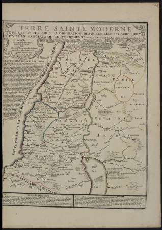
1720s maps of palestine
nicolas de fer
german-language maps from ios map collection
1910s maps of the balkans
lawrence h. slaughter collection of english maps, charts, globes, books and atlases
nypl lionel pincus and princess firyal map division
english-language maps from ios map collection
classicism
brazilian paintings in the museu antônio parreiras
antônio rafael pinto bandeira
atlas des anciens plans de paris by imprimerie nationale, 1880 from bhvp
map of paris by jouvin de rochefort (boutier 112)
atlas maior, vol 3 (germany) - joan blaeu, 1667 - bl 114.h(star).3
old maps of moravia
a map of the british empire in america with the french and spanish settlements adjacent thereto
1730s maps of the caribbean
19th-century portrait paintings of women with red dresses
jewel hair pins in art
van langren map of southeast asia
1619 maps of asia
2901 - 3000 of 4,963
Next page
/ 50


![The Electoral Circle of the Rhine subdivided into all the Estates which compose it... / by Sanson, ,... Geometric Miles or Miles of Italy [30 = 12] common leagues of France, 1734](https://cdn.creazilla.com/illustrations/10001532968/the-electoral-circle-of-the-rhine-subdivided-into-all-the-estates-which-compose-it-by-sanson-geometric-miles-or-miles-of-italy-30-12-common-leagues-of-france-1734-sm.jpg)


![Lutetia or first plan of the city of Paris taken from Cesar, Strabo, the Emperor Julian and Ammiam Marcellin [Digitized still image] / By MLCDLM, Antoine Coquart](https://cdn.creazilla.com/illustrations/10001210581/lutetia-or-first-plan-of-the-city-of-paris-taken-from-cesar-strabo-the-emperor-julian-and-ammiam-marcellin-digitized-still-image-by-mlcdlm-antoine-coquart-md.png)